Did you know?
- More than 50% of the US population lives near coasts
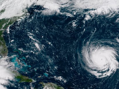
- Since 1880, global sea level has risen about eight inches. Scientists expect global sea level to rise another one to four feet by 2100.
Groundwater is the water that fills empty spaces and cracks under the surface and above impermeable rock layers that supplies much of the US public and domestic water supply, supports agricultural and industrial economies, and contributes flow to rivers, lakes, and wetlands.
The amount of water that is stored underground varies across the US depending on the geology of the area, recharge (from sources such as precipitation, snowmelt, lakes, and rivers), and withdrawal from wells. If water is discharged at a rate that is greater than recharge, it is possible for groundwater to run out or become unusable in some areas. A changing climate impacts the quantity and quality of groundwater through increased risks of drought, changes in precipitation and temperature, decreases in snowmelt, and rising sea levels.
Groundwater in coastal regions of the US is particularly at risk due to a combination of changes in precipitation, withdrawal rates, and sea level rise. Along the coast, groundwater and saltwater from the ocean are naturally separated by the seaward movement of groundwater and a transition zone where freshwater and saltwater mix. As changes in precipitation and rises in sea level continue, the occurrence of saltwater infiltrating groundwater resources may increase and reduce the availability of freshwater for coastal communities. For example, the Biscayne Aquifer at the southern tip of Florida is the primary water source for the Florida Keys, Miami, and the lower east coast of Florida. As sea level rises, the amount of saltwater infiltrating the groundwater aquifer will increase, which can make the water too salty for human consumption.
Learn More:
Saltwater Intrusion
The image below demonstrates how sea level rise and over withdrawing can contaminate groundwater.
Depletion of Groundwater in Major US Regional Aquifers
The graphs below from chapter 3 of the Fourth National Climate Assessment show how, "groundwater supplies have been decreasing in the major regional aquifers of the United States over the last century (1900-2000). This decline has accelerated recently (2001–2008) due to persistent droughts in many regions and the lack of adequate surface water storage to meet demands. This decline in groundwater compromises the ability to meet water needs during future droughts and impacts the functioning of groundwater-dependent ecosystems."

What you can do:
- Learn more about household water use and discover ways that you can save money and groundwater supplies by decreasing your water use at home.
Sources:
- Carolinas Integrated Sciences and Assessments and South Carolina Sea Grant Consortium. 2012. “Assessing the Impact of Saltwater Intrusion in the Carolinas under Future Climatic and Sea Level Conditions.” Columbia, SC. http://cpo.noaa.gov/sites/cpo/Projects/RISA/2013/reports/2012_CISAandSCSeaGrant_SalinitySARPReport.pdf
- Ferguson, G., Gleeson, T. 2012. “Vulnerability of coastal aquifers to groundwater use and climate change.” Nature Climate Change. 2, 342-345. http://www.nature.com/nclimate/journal/v2/n5/full/nclimate1413.html
- Fourth National Climate Assessment. 2018. "Water." Accessed March 12, 2019. https://nca2018.globalchange.gov/chapter/3/
- National Climate Assessment. 2014. “Sea Level Rise.” Accessed March 12, 2019. http://nca2014.globalchange.gov/report/our-changing-climate/sea-level-rise
- National Climate Assessment. 2014. “Water.” Accessed March 12, 2019. http://nca2014.globalchange.gov/report/sectors/water
- Taylor, R., Scanlon, B., Doll, P., et al. 2013. “Ground water and climate change.” Nature Climate Change. 3, 322-329. http://www.nature.com/nclimate/journal/v3/n4/full/nclimate1744.html
- US EPA. 2016. “Climate Impacts on Water Resources.” Accessed March 7. https://web.archive.org/web/20160316101437/http://www3.epa.gov/climatechange/impacts/water.html
- USGS. 2009. “Effects of Climate Variability and Change on Groundwater Resources of the United States.” Accessed March 12, 2019. http://pubs.usgs.gov/fs/2009/3074/pdf/FS09-3074.pdf
- USGS. 2013. “Freshwater-Saltwater Interactions along the Atlantic Coast.” Accessed March 12, 2019. http://water.usgs.gov/ogw/gwrp/saltwater/salt.html
- USGS. 1993. “What is Ground Water?” Accessed March 12, 2019. http://pubs.usgs.gov/of/1993/ofr93-643/